
Friday Chance Showers And T-Storms |
Saturday Slight Chance Showers And T-Storms |
Sunday Mostly Sunny |
Monday Slight Chance Rain Showers |
Tuesday Slight Chance Rain Showers |
Wednesday Chance Showers And T-Storms |
Thursday Chance Showers And T-Storms |
|
| High: 78 °F | High: 78 °F | High: 80 °F | High: 79 °F | High: 80 °F | High: 81 °F | High: 80 °F | |
Tonight Partly Cloudy |
Friday Night  Mostly Clear |
Saturday Night Mostly Clear |
Sunday Night Partly Cloudy |
Monday Night Mostly Clear |
Tuesday Night Mostly Clear |
Wednesday Night  Slight Chance Rain Showers then Partly Cloudy |
|
| Low: 50 °F | Low: 49 °F | Low: 50 °F | Low: 50 °F | Low: 50 °F | Low: 50 °F | Low: 51 °F | |
Ben's WX Summary
- Updated: Thursday @ 04:59pm
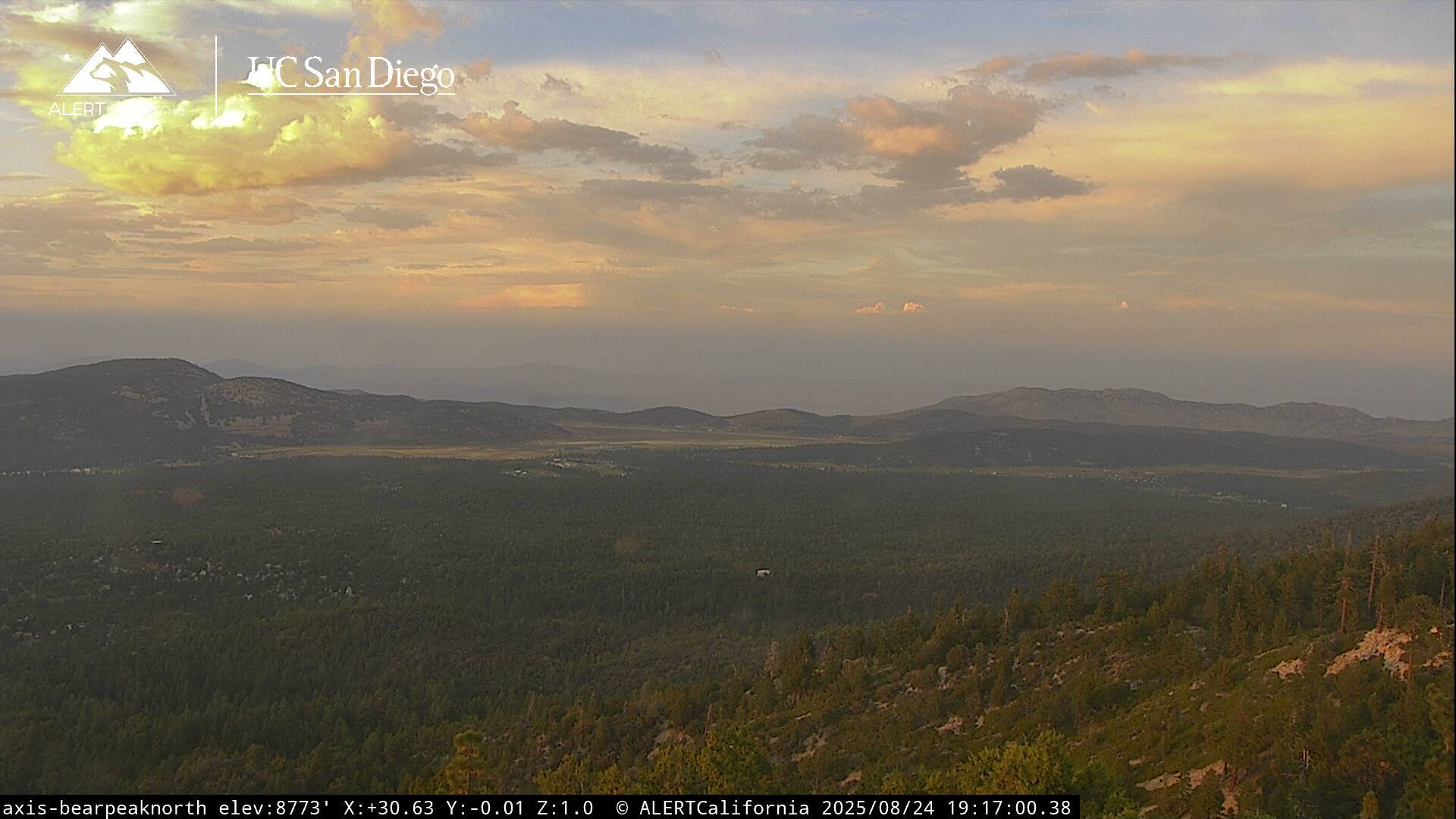
We finally experienced a few showers and thunderstorms around the region today, with isolated cells popping up from Lake Williams to Baldwin Lake, and another near Snow Summit to Red Ant Hill, dropping around a tenth to a quarter inch of rain. Activity will wind down this evening as we lose our daytime heat with lows tonight in the 50s. We'll see slightly better moisture and instability Friday into the weekend for a better chance of afternoon showers and thunderstorms. Daytime highs will remain in the upper 70s to around 80 degrees each day, with overnight lows in the 50s. Monsoon moisture will decrease a bit towards Sunday and Monday, then possibly increase again towards the middle of next week as Southern California remains on the western edge of the monsoon flow. Some storms may produce heavy rain, gusty winds, frequent lightning, and small hail. Always head indoors if a thunderstorm approaches your area!
| Current Conditions | Wind | Rain | Outlook | ||||||||||||||||||||||||||||||||||||
|
|
|
|
||||||||||||||||||||||||||||||||||||
| Humidity & Barometer | Snowfall | Moon | |||||||||||||||||||||||||||||||||||||
|
|
|
|||||||||||||||||||||||||||||||||||||
| UV Index | Solar Radiation | ||||||||||||||||||||||||||||||||||||||
|
|
||||||||||||||||||||||||||||||||||||||


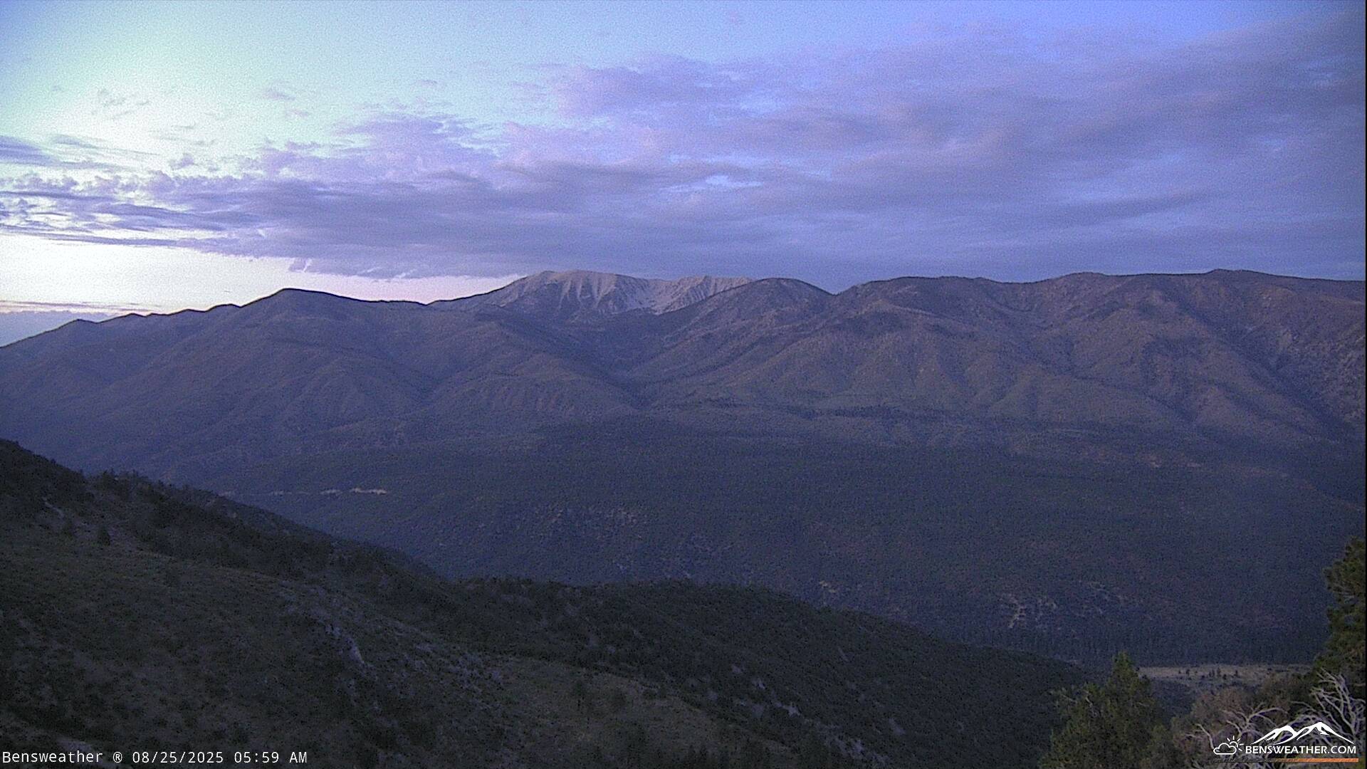
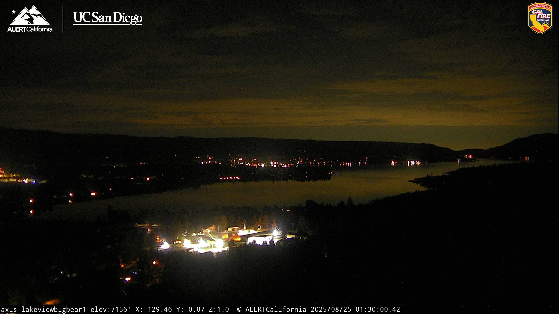
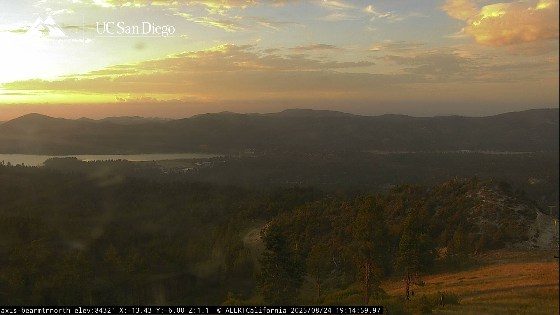
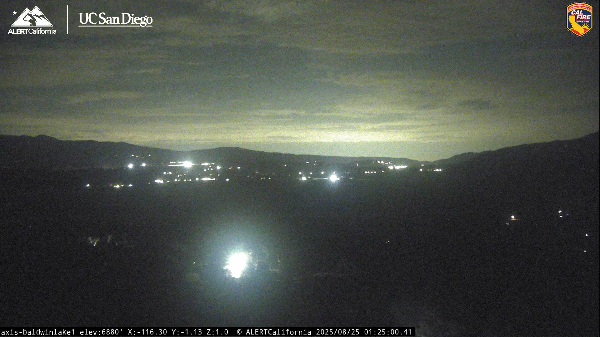
Live Cams